Interactive web mapping Day 1 · Points
Where the night stays dark
International Dark Sky Places
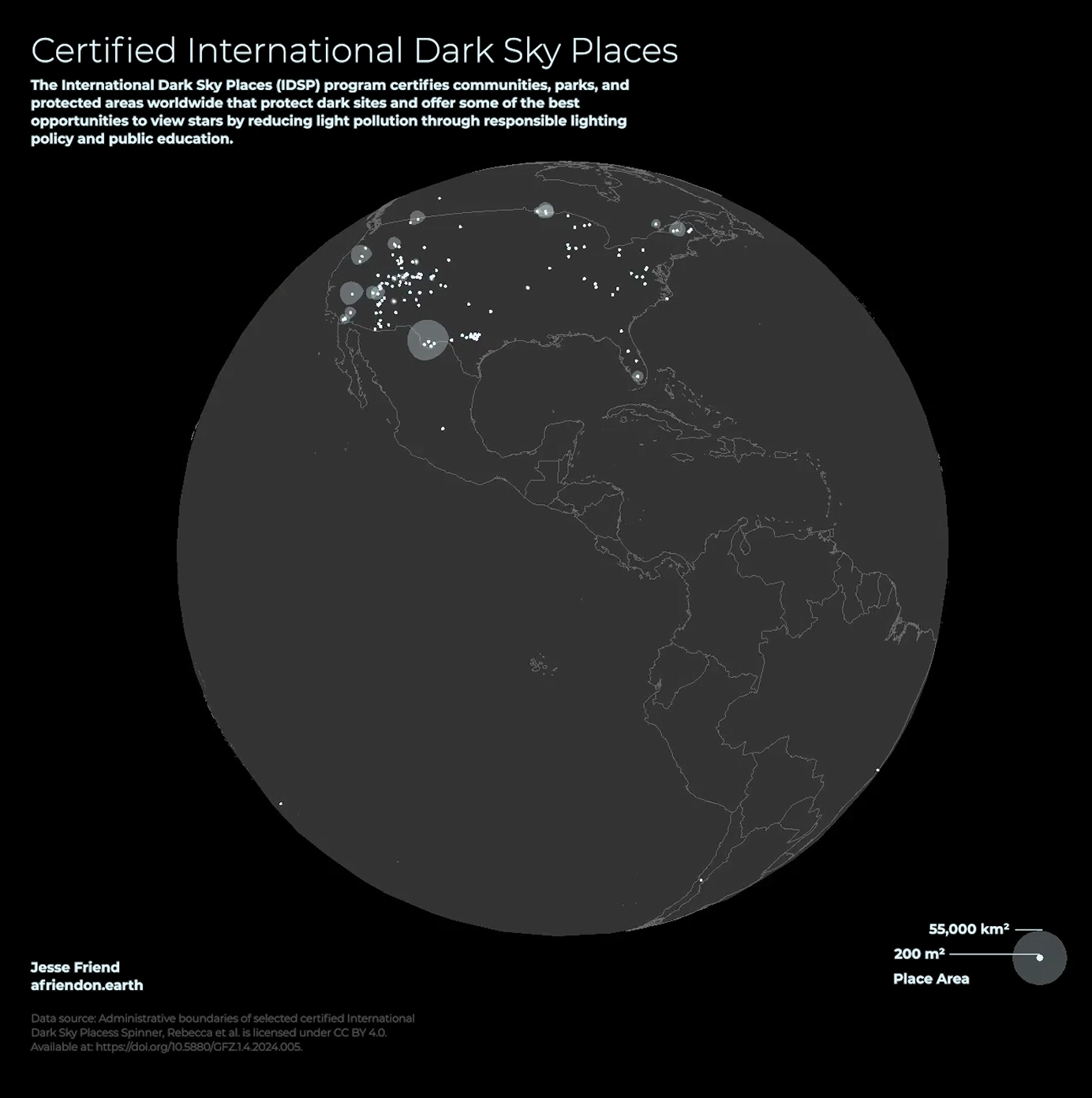
An interactive globe of the 222 places certified as International Dark Sky Places for protecting their night skies.
A closer look
This map shows the certified International Dark Sky Places recognized by DarkSky International. Places must apply for certification, so the map doesn’t include every location with dark skies.
I made the first version for Day 1 of the 30 Day Map Challenge as a rotating Three.js globe, recorded as video. For this portfolio, I rebuilt it as an interactive MapLibre globe. Each point is a certified place, and its halo shows the size of the protected area. Select a place to see its type, certification year, and tier, or filter the map by place type.