 Featured storyImagery: EOX Sentinel-2 cloudless
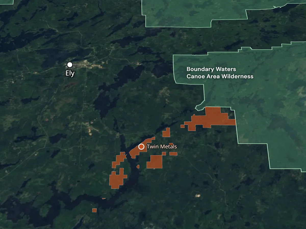
Downstream from danger
A copper-nickel mine is proposed upstream of the Boundary Waters. A map-driven story about the lakes, wild rice, and people downstream.
Read the storyFeatured storyImagery: EOX Sentinel-2 cloudless
A copper-nickel mine is proposed upstream of the Boundary Waters. A map-driven story about the lakes, wild rice, and people downstream.
Read the storyEach pin is a project. Select one to open it.
 02
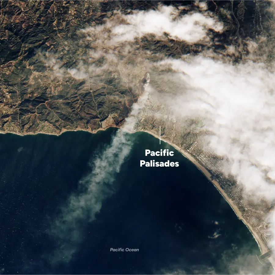
A geographic story about a changing landscape, built with MapLibre and Scrollama.
 03
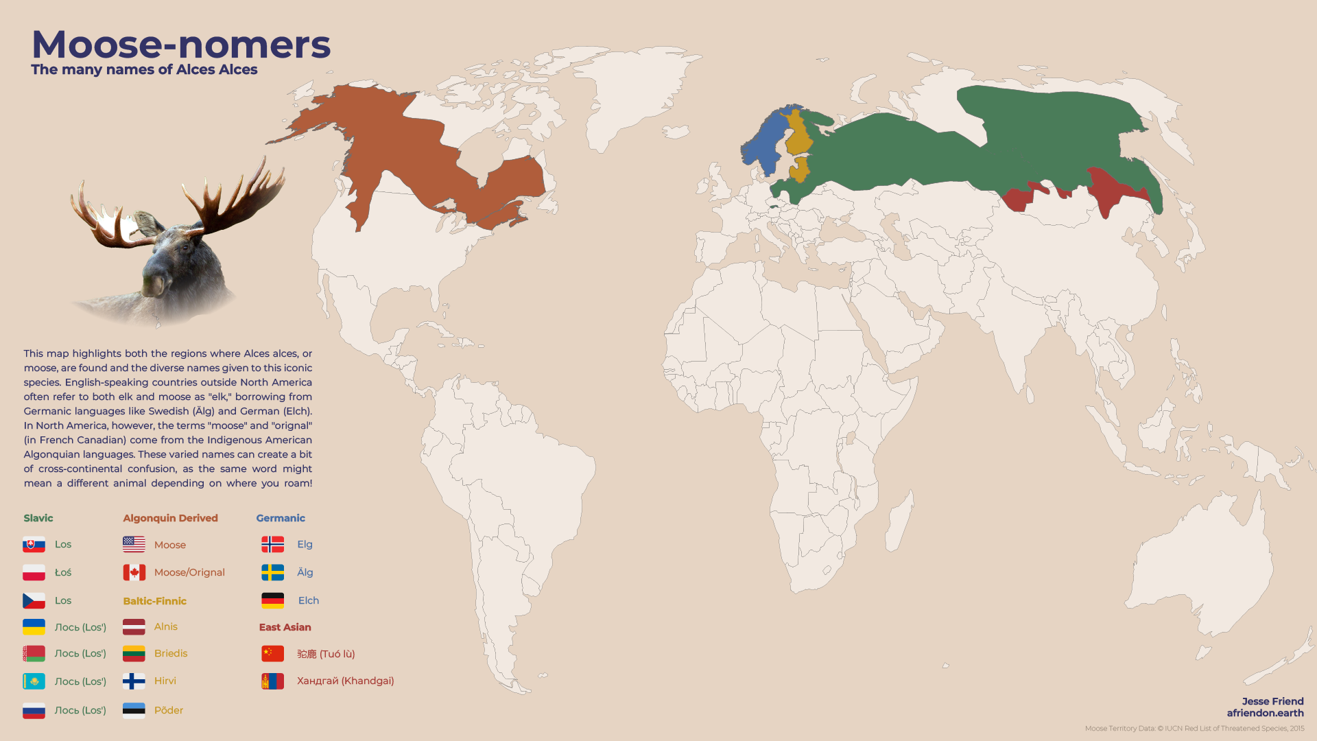
Where moose live, and the many names they go by.
 04
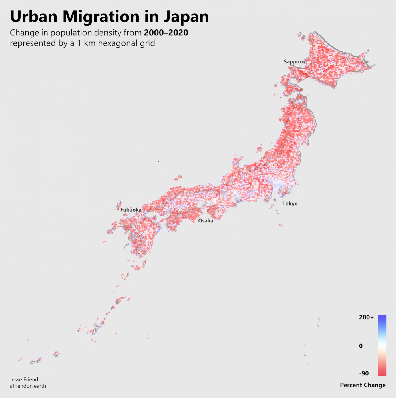
Japan’s changing population, seen in three dimensions.
 05
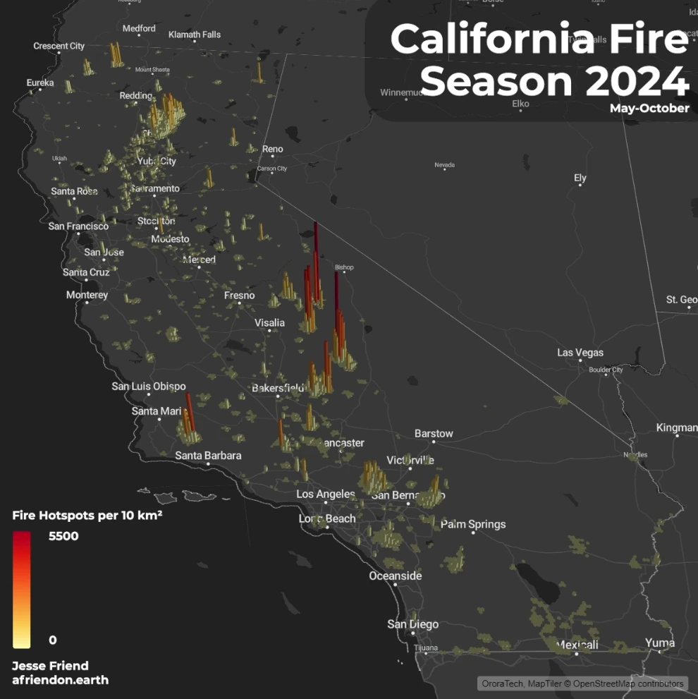
A fire season’s satellite detections, stacked in 3D hexagons.
 06
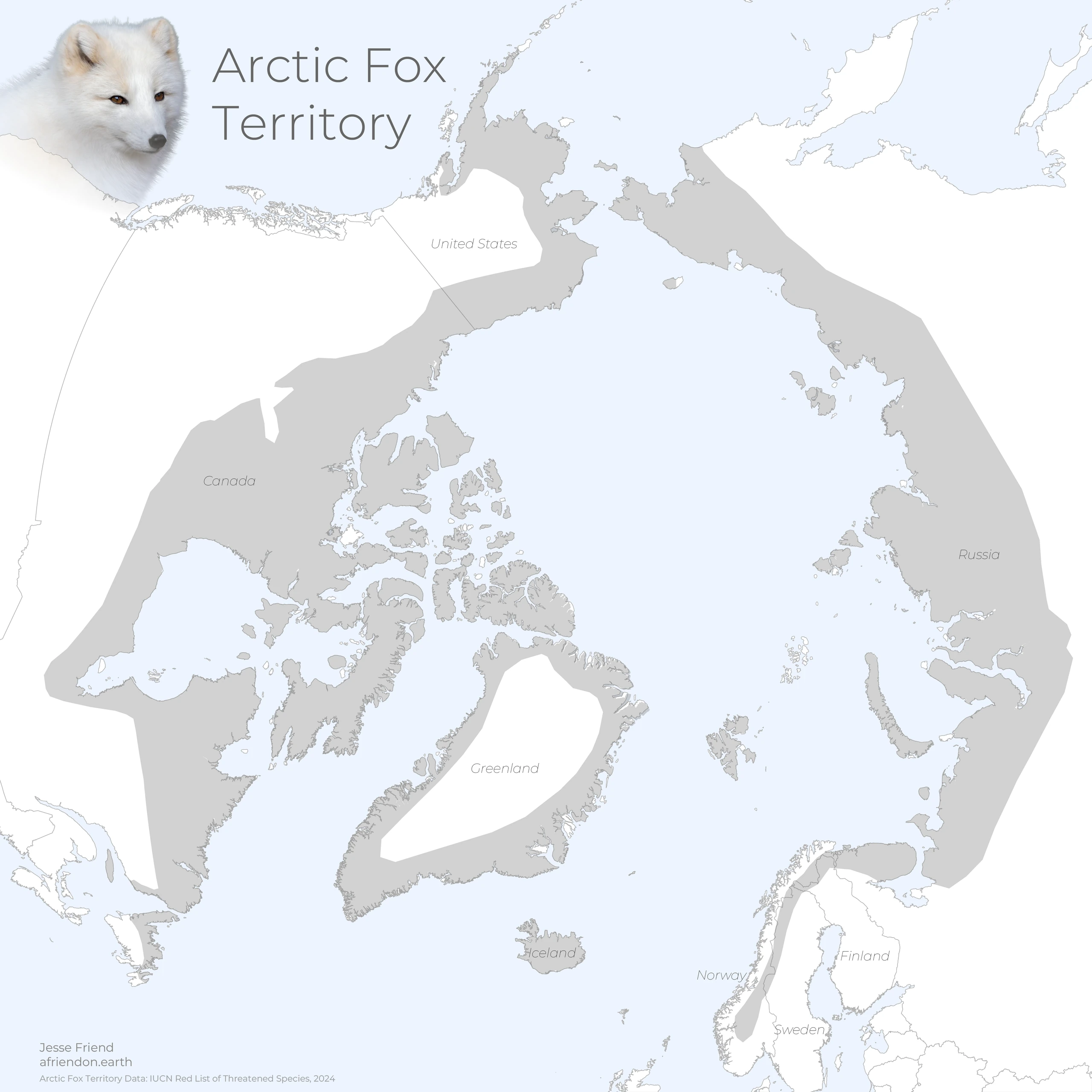
The arctic fox’s circumpolar range, and its fragile foothold in Fennoscandia.
 07
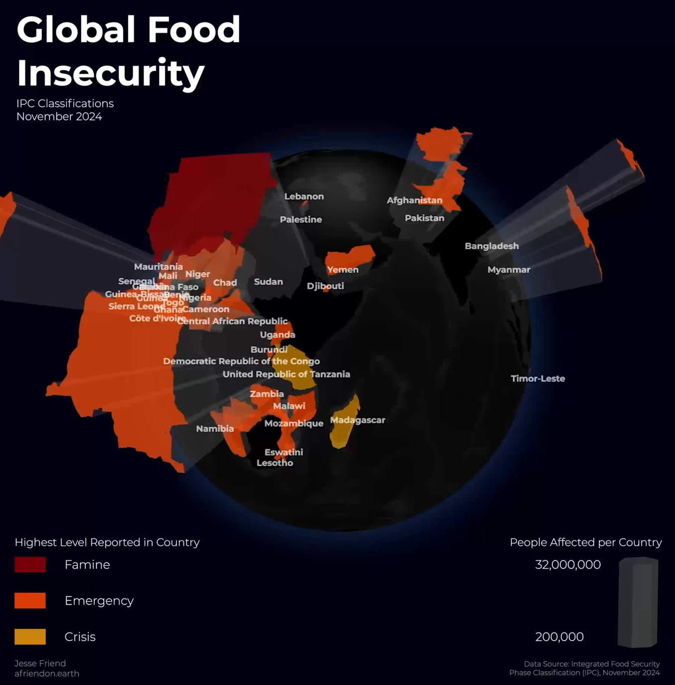
IPC food insecurity classifications on a rotating globe.
 08
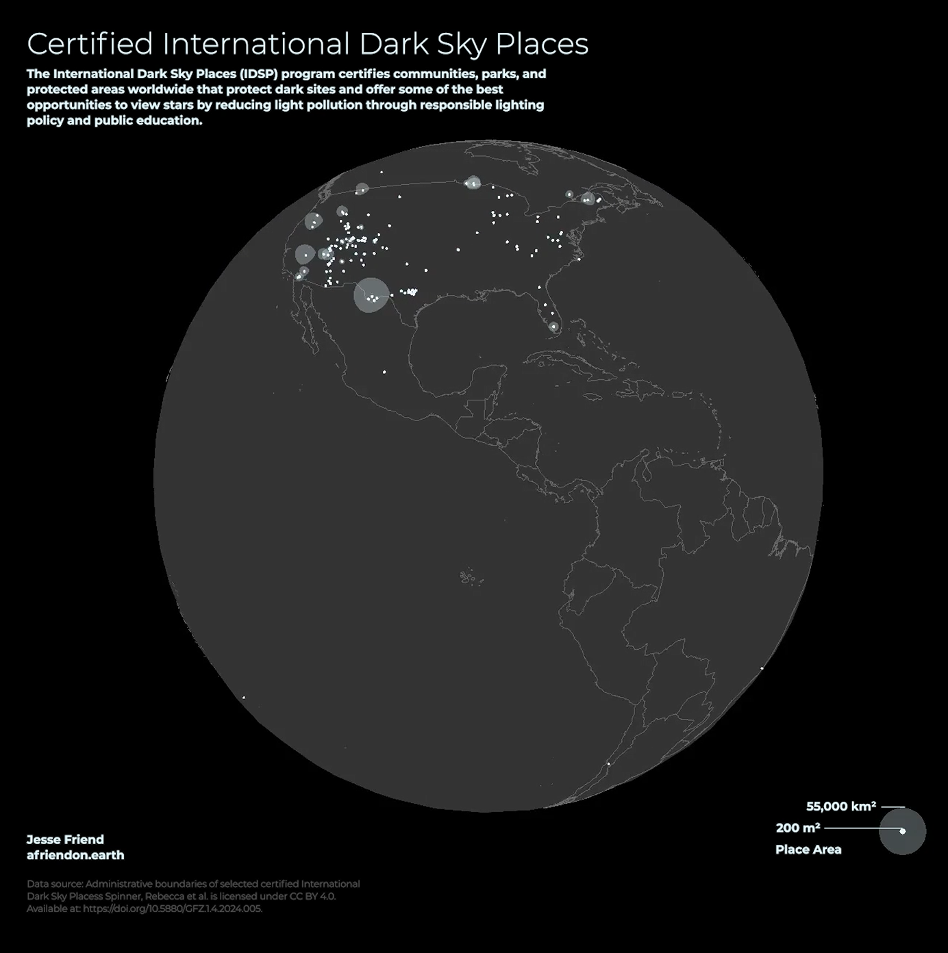
An interactive globe of certified International Dark Sky Places.
 09
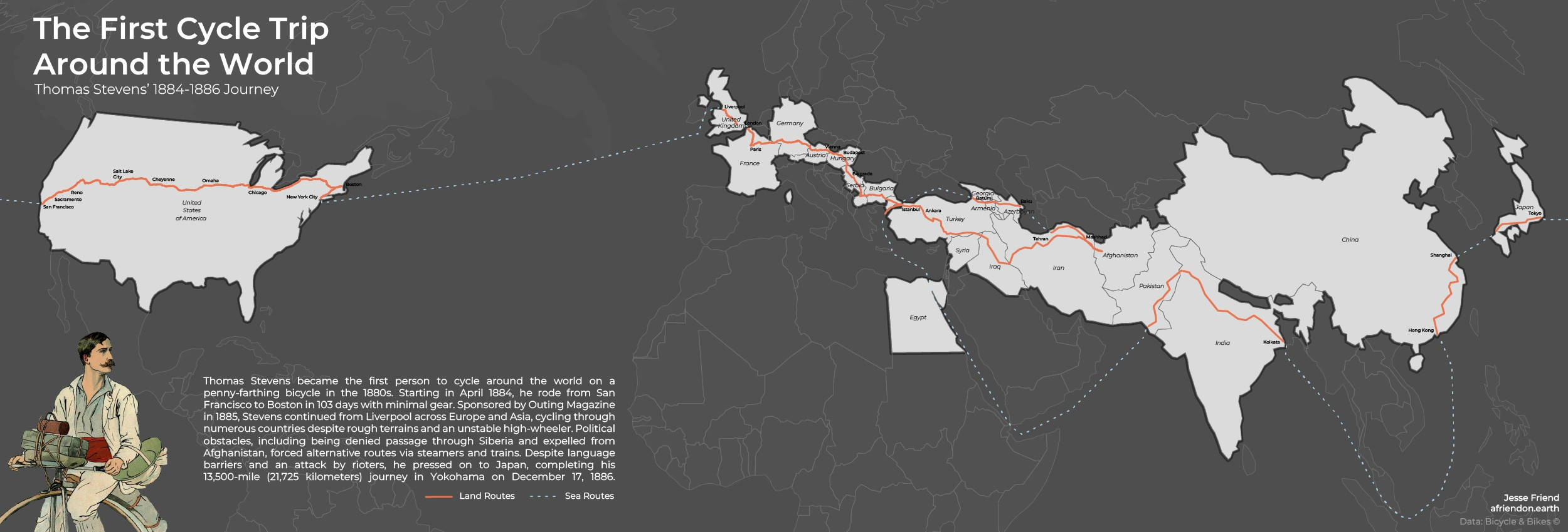
Thomas Stevens’s 1884–1886 ride around the world.
 10
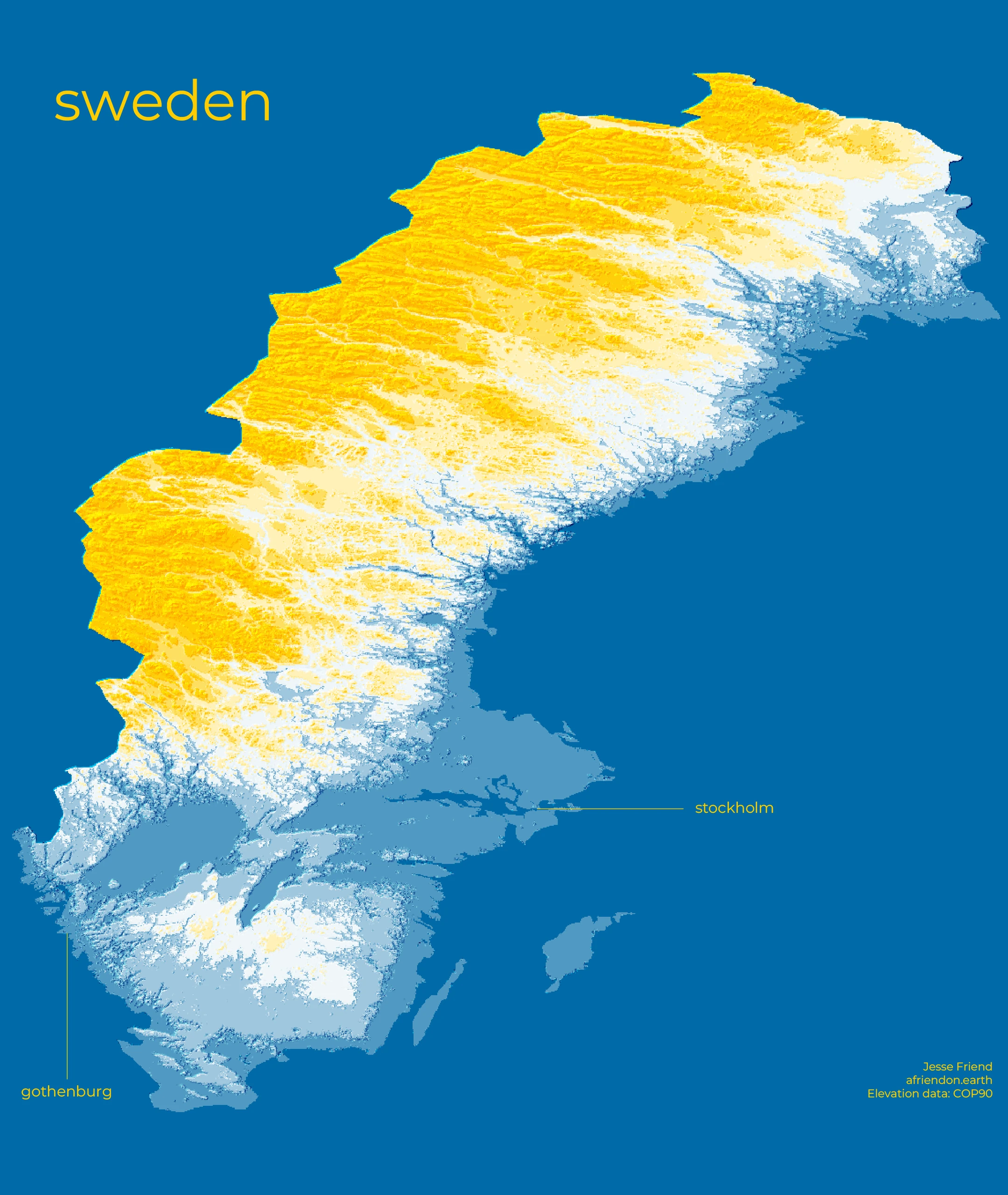
Finding a different kind of relief in Sweden’s terrain.
 11
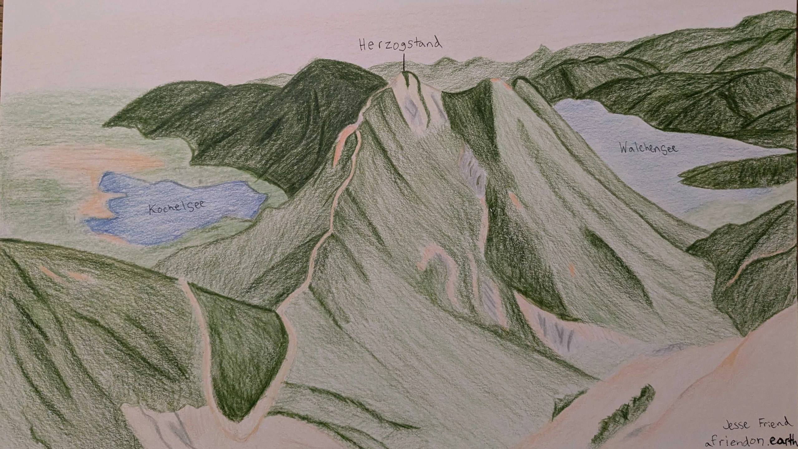
A view of the Bavarian Alps, with pen and paper.
 12
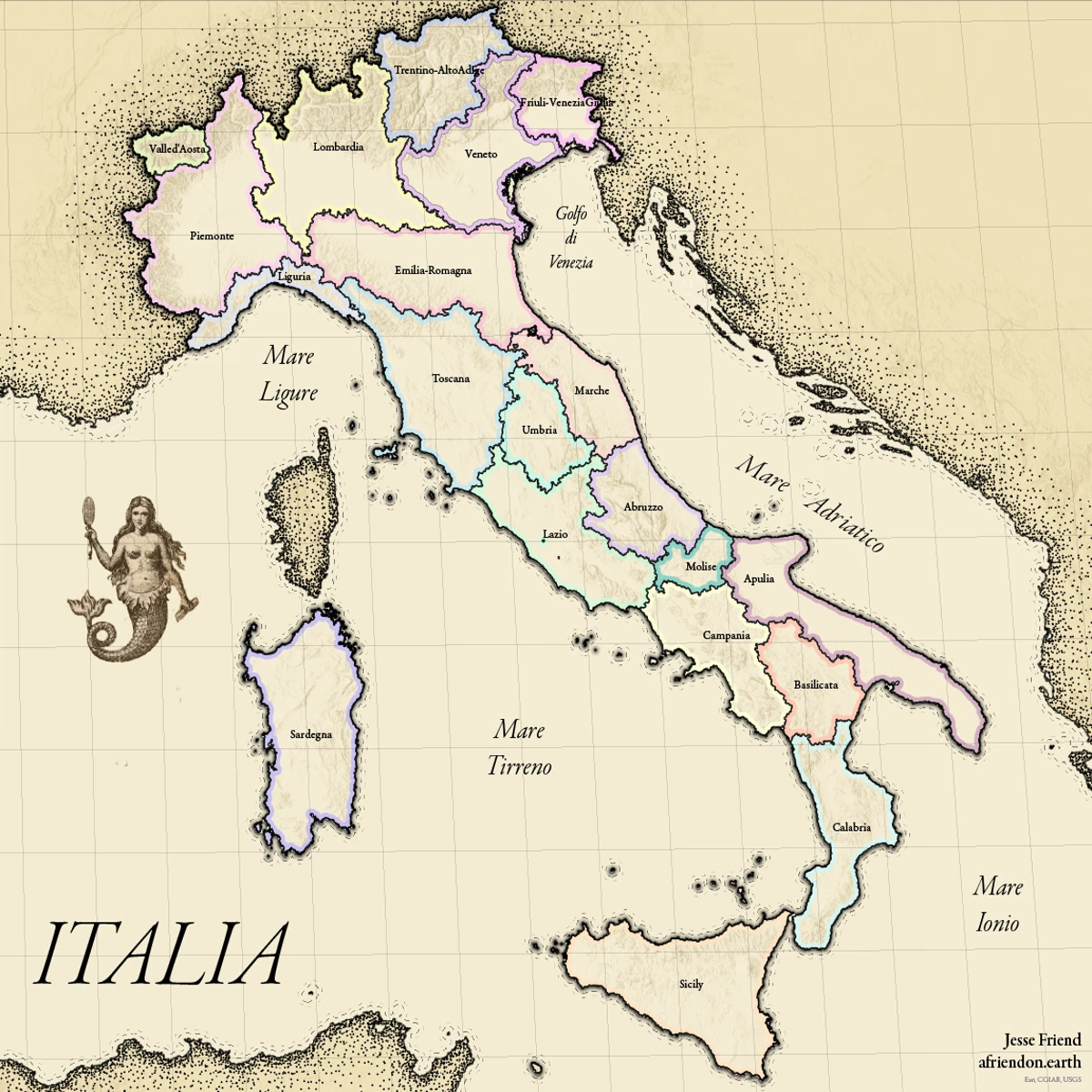
A contemporary map in a historical visual language.
 13
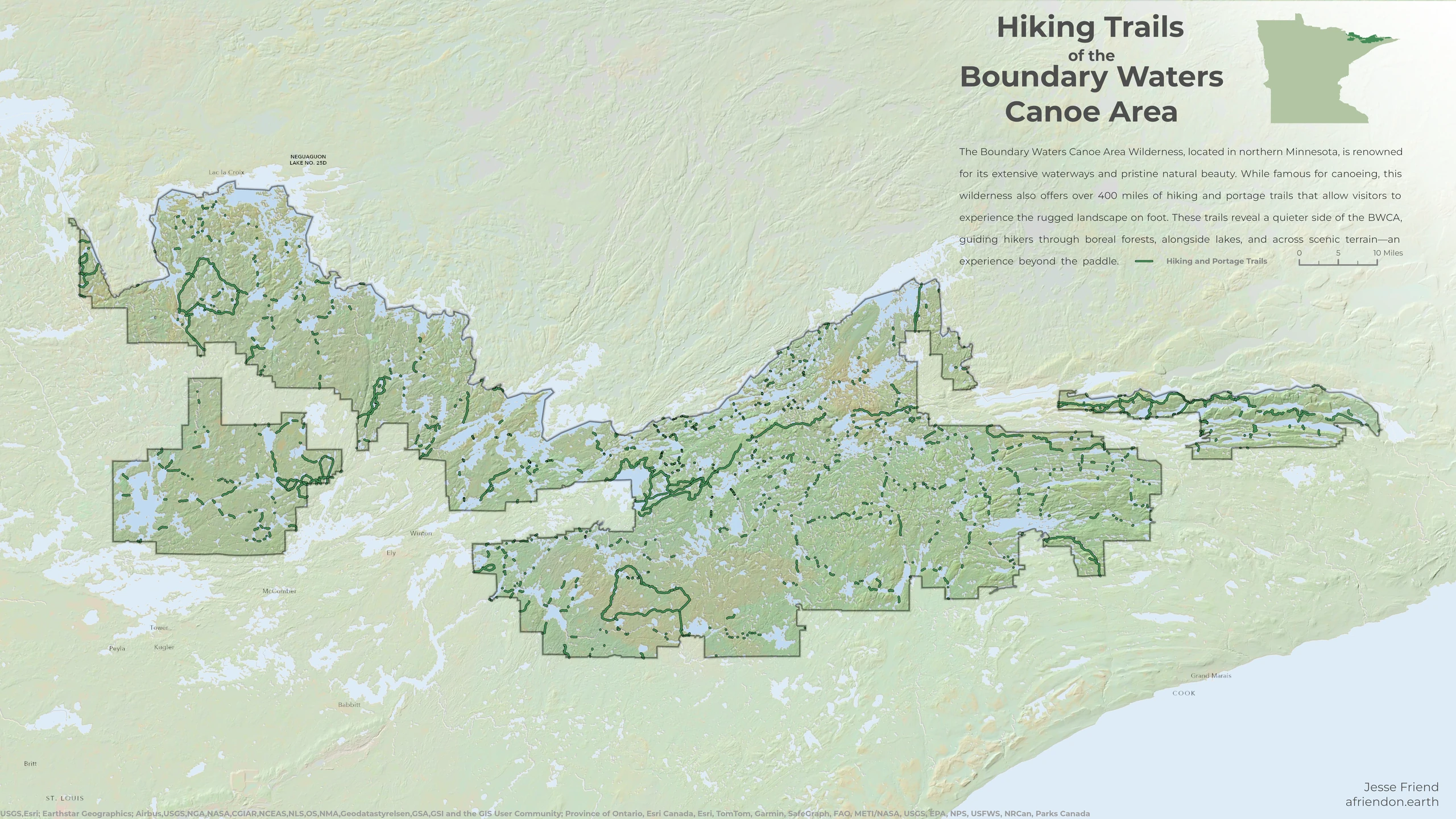
Hiking and portage trails in Minnesota’s Boundary Waters.
About
I’m Jesse. I work between cartography and geospatial development, making geographic information easier to understand and explore.
My projects range from interactive stories and 3D maps to terrain studies and drawings from a mountain trail.